

US
°C


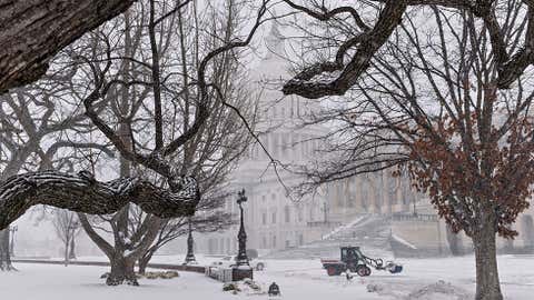
This weekend, another winter storm will bring snow and ice to parts of the South, Midwest, Northeast and the Rockies.
Current Winter Weather Alerts
(MORE: | )
We're sorry to be the messengers. We know snow fatigue is reaching epidemic proportions during what is approaching .
We know some are recovering from , a snowy, icy mess spanning more than 1,200 miles from the South to the East.
We've had six winter storms since Jan. 25 in just over three weeks. Snow may now be one of those four-letter words you shouldn't say.
Unfortunately, . Any system moving into that cold air has the potential to produce at least nuisance snow and ice.
Below are the forecast details for this latest winter storm which begins to take shape on Friday.
We mentioned earlier the in the East and South.
The jet stream will once again send disturbances and moisture rippling over this cold air.
Friday Night's Forecast
Saturday Night's Forecast
Sunday's Forecast
East Snow Forecast
(Through the next 72 hours.)
Rockies Snowfall Forecast
(Through the next 72 hours.)
We won't see an intense low-pressure system spin up with blizzard conditions and two-foot-plus snowfall, as we saw in some areas with .
However, a mess of snow, sleet and freezing rain will blanket a swath from the Rockies to parts of the East Friday at least into the weekend, in somewhat similar fashion as .
In addition to the wintry weather threat, there may be some thunderstorms in parts of the south-central states Saturday from this system.
The first three maps at right show our current forecast Friday, Saturday and Sunday. The exact lines between snow, ice, and just plain rain will likely shift a bit as we near the event and our forecast guidance comes into agreement.
Here is the general outlook:
Friday:
Mid-South/Tennessee Valley snow, sleet, freezing rain. Snow in Rockies, Front Range, western Great Lakes.Cities to watch: | |
Saturday:
Snow from the Rockies to the southern Great Lakes and into the NortheastSleet/freezing rain possible south of that snow swath.Precipitation should change to rain in most of Friday's sleet/ice area.Cities to watch:| |
Sunday:
Snow, sleet and some freezing rain may persist in the Northeast and Appalachians. Precipitation may change to rain along part of I-95 corridor. Snow continues along Front Range of central/southern Rockies.Cities to watch: | |
It appears the best chance of at least 6 inches of snow through Sunday with this wintry mess will be in two general areas:
Eastern Ohio Valley, northern Appalachians into Upstate New York and northern New EnglandCentral and southern Rockies, Front Range, High Plains of Colorado and far northern New Mexico
As mentioned above, there will be a band of freezing rain and sleet. Forecast ice accumulations at this time suggest slick roads (not just bridges and overpasses), perhaps some additional power outages are possible particularly Friday in the Mid-South and Tennessee Valley and Saturday in the central and southern Appalachians.
That said, as mentioned above, temperatures should warm enough Saturday to change precipitation to rain and melt any ice that had accumulated Friday in the Tennessee Valley and Mid-South region.
If that wasn't enough, with the cold air reinforced this weekend, and more upper-level energy lurking over the West, we can't rule out additional rounds of snow, sleet and freezing rain from the southern Plains into the Southeast early next week.
Also, there's a potential for another East Coast storm to bring more snow to snow-weary New England if the southern-branch jet stream is able to combine with another arctic front plowing southeast from the Great Lakes around the middle of next week.
(MORE: )
Check back with us at weather.com and The Weather Channel for the latest on these systems.


 zpostcode
 Recruit
 weather
 mreligion
 Yellowpages
 sport
sport constellation
 shopping
 name
name game
game directory
 literature
 Word
Word tour
tour furnish
 Lottery
 tftnews
 lyrics
 News
News digital
 car
car dir
dir Edu
Edu Finance


