

US
°C


Bad weather led to a wreck in Alabama Friday that backed up traffic for miles in both directions on Interstate 65.
Due to the weather, cleanup is taking longer than usual, WHNT said. The accident happened on the southbound lanes. Officials are encouraging motorists to drive with caution or remain off the roads if possible.
(MORE: )
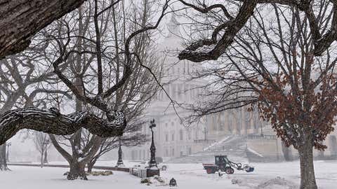
A dusting of snow and treacherous ice blanketed Alabama's Tennessee Valley region Friday, causing wrecks, road closings and worries about whether the power would stay on as conditions worsened, the Associated Press said.
Current Radar
Emergency workers shut down elevated portions of Interstate 565 around Huntsville as a mixture of snow and ice turned asphalt white, and numerous wrecks were reported in Morgan and Colbert counties.
The National Weather Service said roads were impassable in at least seven counties, and drivers posted photos of stranded, overturned vehicles on social media.
"There is a lot of sleet falling right now, and it isn't melting fast enough so the traffic is just packing it," said Mike Melton, emergency management director in Colbert County. "That's what is getting so slick."
While temperatures were predicted to remain freezing for hours as a weather system moved through, highs are supposed to climb into the 50s in the area on Saturday, melting any lingering ice or snow.
(MORE: )
Hundreds of schools in dozens of systems took the day off or sent students home early, and NASA shut down the Marshall Space Flight Center at lunchtime as the winter storm began coating north Alabama with frozen precipitation.
Huntsville and the rest of the state's northeastern corner were under a winter storm warning through early Saturday, and forecasters said much of northern Alabama could get snow and sleet.
Up to an inch of snow and sleet is possible in northeastern Alabama, plus about one-quarter of an inch of ice. Officials feared weight from that much ice could topple trees and pull down power lines.
(MORE: | )
"Winter Storm Pandora will bring as much as 1 to 3 inches of snow to eastern Tennessee into eastern Kentucky through Sunday," said meteorologist Chrissy Warrilow. "However, Pandora's more menacing impact will come in the form of ice. As much as a tenth to a quarter of an inch of ice is expected from northern Alabama, Georgia and Mississippi north into Tennessee, Kentucky, Illinois, and Missouri."
The Associated Press contributed to this report.


 zpostcode
 Recruit
 weather
 mreligion
 Yellowpages
 sport
sport constellation
 shopping
 name
name game
game directory
 literature
 Word
Word tour
tour furnish
 Lottery
 tftnews
 lyrics
 News
News digital
 car
car dir
dir Edu
Edu Finance


